


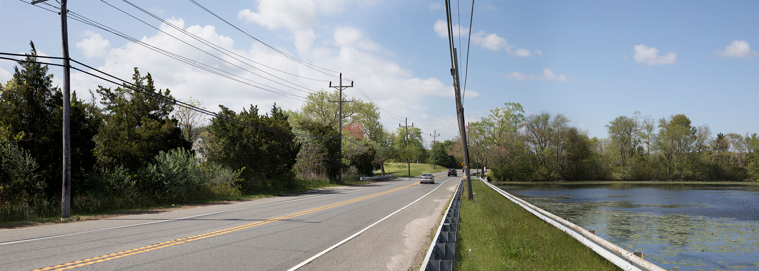
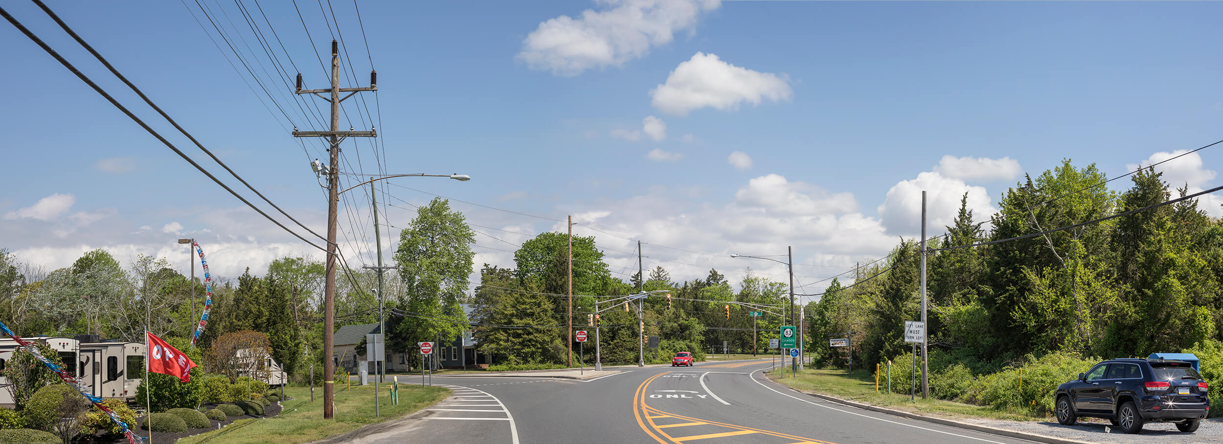
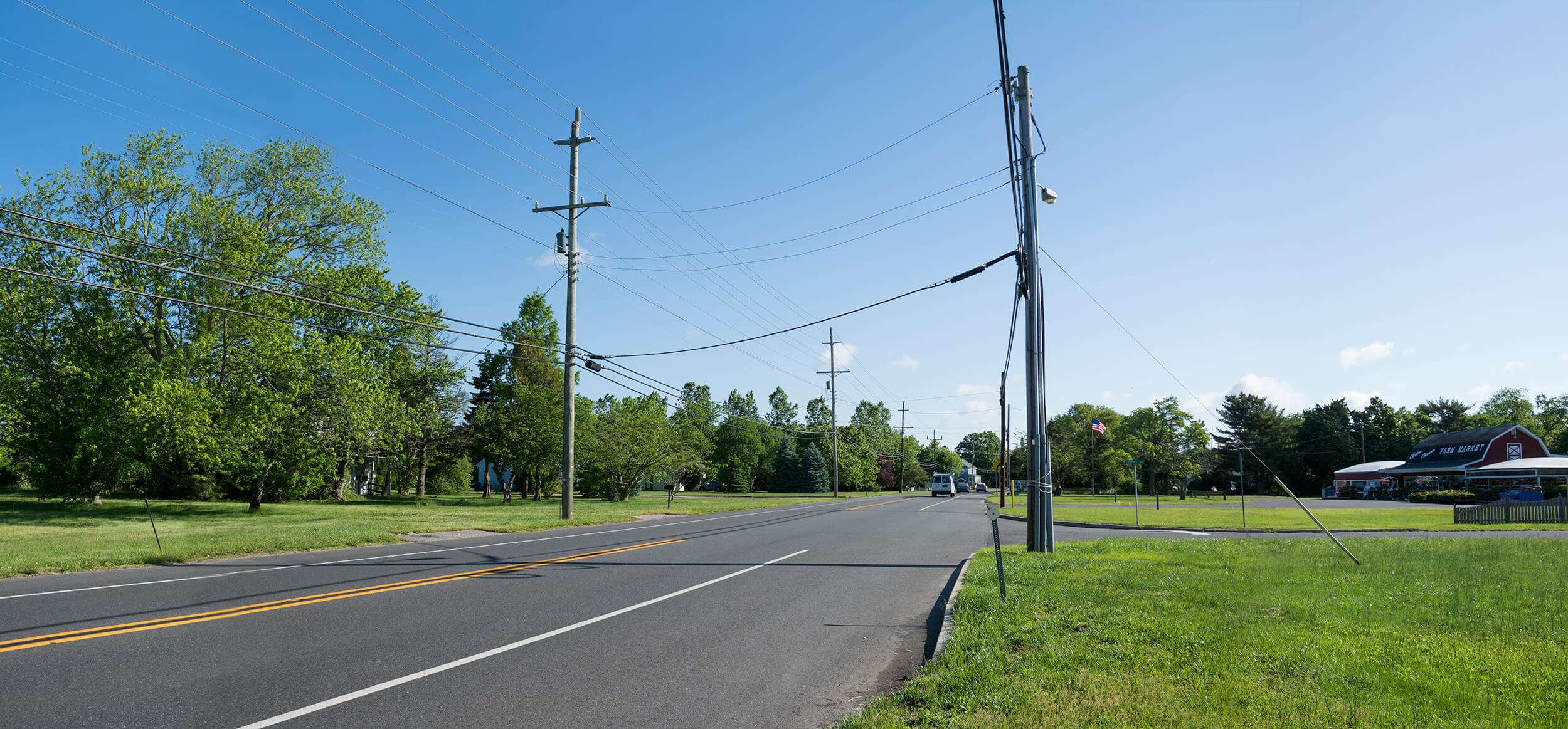
This application displays Photo Simulations completed on the Corson - Sea Isle - Swainton Transmission Line Project. Photo Simulations allow stakeholders to visualize proposed project design changes through the use of photography and highly detailed 3D renderings. 3D renderings are composited into existing condition photographs to provide "before and after" scenarios. This technique helps stakeholders understand what proposed conditions will look like when built.
Photo simulations are for discussion purposes only and may change pending public, regulatory, and utility review.
 |
Click each Photo Simulation icon on the overview map to access a birds-eye view of the area. A secondary icon will appear allowing access to the Photo Simulation. Click and drag the slider on each simulation to transition between the existing and proposed conditions. |

 |
Transmission Line |
 |
Substation Location |
 |
Viewpoint Location |


 CLOSE
CLOSE 
 CLOSE
CLOSE
 CLOSE
CLOSE
 DOWNLOAD DISPLAY BOARD