Initial Stakeholder Engagement
- Landowners are contacted to obtain survey permission for civil, biological, and cultural resource field teams
- Community and government are contacted to introduce the project
- Civil survey plans are developed, routing is refined, and facility (compressor station, meter station) design begins
- Agencies are contacted to request their participation in the environmental review process
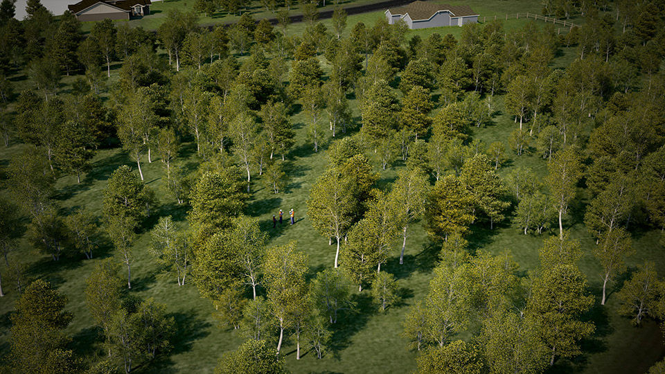
Surveying
Extensive civil and resource surveys of the proposed route are conducted to determine an acceptable route for the pipeline that provides the least overall impact to the environment and communities.
Resource survey corridors typically range from 200 to 400 feet or wider to provide flexibility in moving the pipeline alignment to avoid sensitive resources.
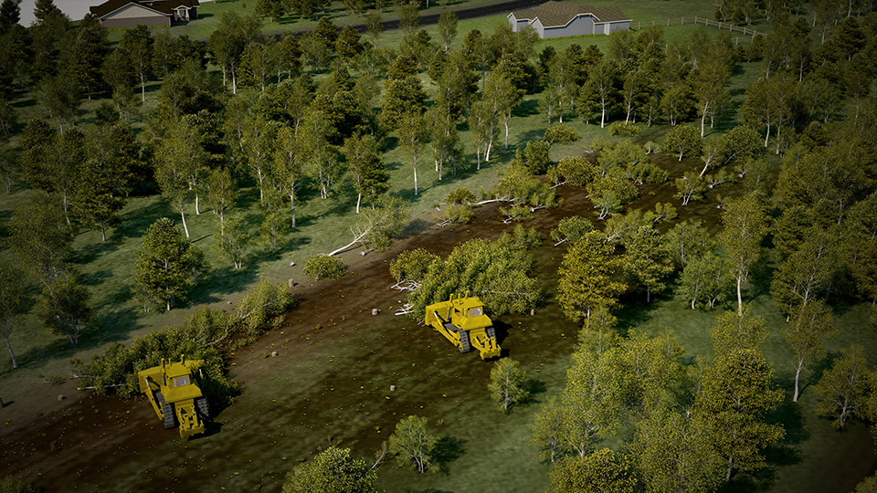
Clearing & Grubbing
The path of the pipeline is cleared of all removable impediments, including trees, boulders, brush, and anything else that may prohibit construction.
The pipeline's path is cleared sufficiently to allow construction equipment to gain access.
Grading
Grading of the pipeline right-of-way is conducted to provide a relatively safe and level working surface.
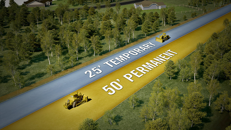
A ROW is a defined strip of land in which activities may occur. Construction ROWs typically range from 75 to 100 feet or more in width, depending on the diameter of the pipeline to be installed and topographic conditions. Permanent ROWs are maintained during operation of the pipeline and are typically 50 feet in width.