
Map Imagery: Google
Project Overview Map (PDF)
Download All Display Boards (41MB PDF)
Download Display Boards PowerPoint
Download Display Boards Video (226MB)
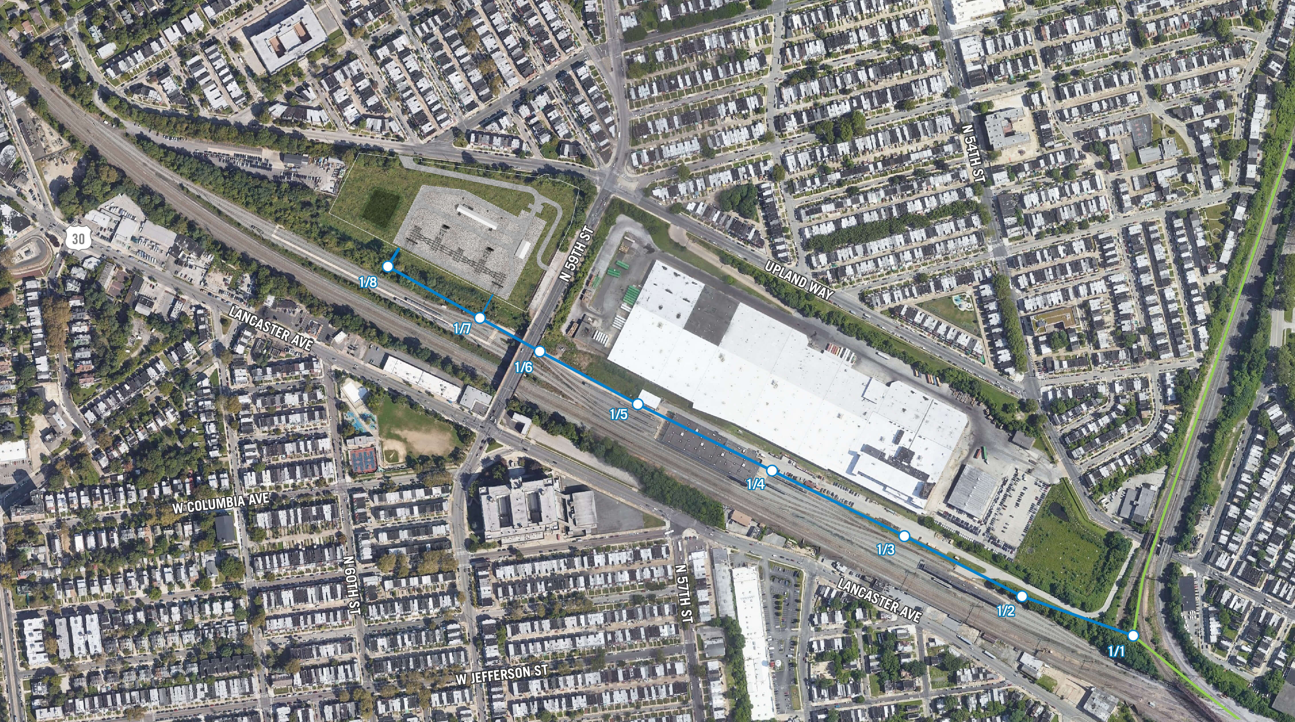
 |
Photo Viewpoint |
 |
Upland Substation |
 |
Existing Transmission Line |
 |
Proposed Transmission Line |
 |
Proposed Structures |
Photo simulations are for discussion purposes only and may change pending public, regulatory, and utility review.
Click each Photo Simulation icon on the overview map to access the Photo Simulation for that location. Click and drag the slider on each simulation to transition between the existing and proposed conditions. Right click and hold to zoom and pan within the simulation frame.
